Sift Through Eight Decades of CIA Maps

Map lovers have a new treasure trove of international maps to look through, thanks to the CIA. The agency just released an archive of its formerly classified intelligence maps dating back to the 1940s, as National Geographic reports.
The maps—organized by decade on the CIA Cartography Center’s Flickr—chart international conflicts from a U.S. intelligence perspective, covering topics important to high-level government officials at the time, including maps of German dialects and the Russian front during World War II, missile activity in Cuba just a month before the Cuban Missile Crisis in October 1962, and Baghdad in 2003.
“The mission of the Cartography Center is to provide a full range of maps, geographic analysis, and research in support of the Agency, the White House, senior policymakers, and the [Intelligence Community] at large,” the center explains on its Flickr page. “Since 1941, the Cartography Center maps have told the stories of post-WWII reconstruction, the Suez crisis, the Cuban Missile crisis, the Falklands War, and many other important events in history.”
White House photo by Eric Draper
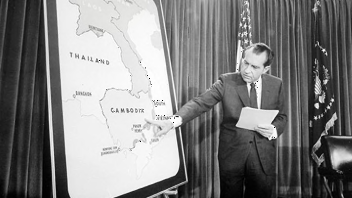
The release is a celebration of the Cartography Center’s 75th birthday. The albums also feature a few photos of presidents being briefed by intelligence officials using the maps, like a map of Afghanistan used to brief President George W. Bush at Camp David in 2001 after the September 11 attacks.
See the whole collection here.
[h/t National Geographic]
All images courtesy the CIA Cartography Center via Flickr // Public Domain unless otherwise noted