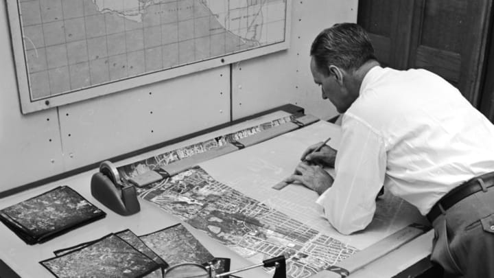
In the modern era, we take for granted having constantly updated, largely accurate maps of just about every road in the world at our fingertips. If you need to find your way through a city or across a country, Google Maps has your back. You no longer have to go out and buy a paper map.
But to appreciate just what a monstrous task making road maps and keeping them updated was in decades past, take a look at this vintage short film, "Caught Mapping," spotted at the Internet Archive by National Geographic.
The 1940 film, produced by the educational and promotional company Jam Handy Organization (which created films for corporations like Chevrolet), spotlights the difficult task of producing and revising maps to keep up with new road construction and repair.
The film is a major booster of the mapmaking industry, and those involved in it come off as near-miracle workers. The process of updating maps involved sending scouts out into the field to drive along every road and note conditions, compare the roads against topographical maps, and confirm mileage figures. Then, those scouts reported back to the draughtsmen responsible for producing revised maps every two weeks. The draughtsmen updated the data on road closures and other changes.
Once those maps were printed, they were "ready to give folks a good steer," as the film's narrator puts it, quietly determining the success of any road trip in the country.
"Presto! and right at their fingertips, modern motorists can have [information] on any road they wish to take." A modern marvel, really.
[h/t National Geographic]
