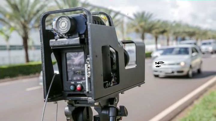
The Waze app’s crowdsourcing capability has made it easier than ever for drivers to know exactly what they’ll see on any given route, be it an accident that has traffic backed up for miles or a sneakily concealed police car lying in wait for unsuspecting speeders.
Now, in an effort to keep up with the Joneses and everyone else who swears by Waze, Google Maps has added similar features to its own navigation system. News stations WSYX and WTTE in Columbus, Ohio, report that Google has already released some of these updates on Android devices, and Apple users will start to see them as early as this week.
“This feature has been one of our most popular on Android, and we’re excited to expand it to iOS,” Google said in a blog post.
People will be able to report crashes, speed traps, slowdowns, construction, lane closures, disabled vehicles, and objects on the road by tapping the plus sign on the right side of their screen, tapping “Add a report,” and choosing the relevant incident.
Based on the image preview, the new feature doesn’t include an option for adding comments or photos, so the level of detail is still much more limited than what you’ll find on Waze. This makes it easy to submit a report on the go, and it also prevents users from padding their report with potentially impertinent (but sometimes interesting) minutiae about just how far along that dead deer is in its decaying process.
While you’re waiting for Google Maps’s new bells and whistles to appear on your own device, check out 11 things that might be making you a bad driver.
[h/t WOAI]
