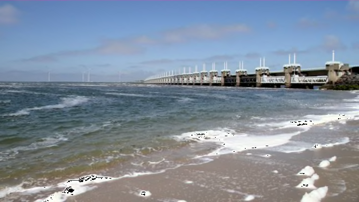
A new study has an important lesson for would-be conquerors eyeing up the Netherlands: Bring your swimmies, because you might be welcomed with a flood. After examining historical maps and other documents from the southwestern Netherlands, geographer Adriaan de Kraker found that one-third of the floods that occurred in the region between the years 1500 and 2000 were deliberately and strategically caused during times of war.
De Kraker has been studying historical floods in the Dutch province of Zeeland for decades, using maps, photographs, and documents like letters and land management records to document the floods’ causes and consequences. Most of Zeeland and its surrounding area lies below sea level and sits at the mouths of three major rivers, making it especially vulnerable to flooding. It’s also economically and strategically valuable, and has often been a theater for warfare. Given those characteristics, De Kraker says, the idea of using a natural disaster as a weapon or part of a military strategy sounds pretty logical.
The earliest instance he found of the Dutch using the flood-prone land to their advantage in battle was during their revolt against Spanish rule, the Eighty Years’ War. From 1584 to 1586, rebel forces led by William of Orange breached seawalls at strategic points to cause large-scale floods, with the goal of driving Spanish armies out of the countryside and giving the Dutch an opportunity to relieve several towns that were under siege.
The flooding had a devastating impact on the landscape, de Kraker says, and two-thirds of Zeelandic Flanders, the province’s southernmost region, was inundated with water. The flooding didn’t do the rebels much good, though, and actually set them back some. The towns they were trying to protect were still captured by the Spanish, and the floods isolated Zeelandic Flanders from the other areas under rebel control, cutting it off from the money and manpower needed for repairs. Both the Spanish and the Dutch eventually built a chain of fortresses on their respective sides of the water, and the flood zone, de Kraker says, “was gradually considered to be a rather practical solution to avoid any kind of hostile engagement in the field.”
The Dutch also used strategic flooding against French armies in 1672 and again in the 18th century. In the latter instance, de Kraker writes, “an ingenious network of sluices and channels was developed in order to generate flooding within a few days” and create a long defensive barrier of water that would prevent the movement of troops and artillery. Again, it didn’t really work, and the flooding failed to keep the French out of the area.
In all of these cases, de Kraker couldn’t find any records of plans to repair the damage, or even agreements about who was going to pay for repairs. Leaving the flood zone as it was during the Eighty Years’ War had profound consequences for the landscape. Floodwater destroyed homes and farms (with no compensation paid to landowners because the flooding was done in the common interest), while the silt it carried created a thick layer of clay soil that buried whole villages. Some of these, de Kraker says, have never been found.
Weaponized flooding didn’t result in a true victory until World War II, when both the Allies and the Nazis tried to use it to different ends. As the Allies marched north from France to liberate Belgium and the Netherlands, the occupying Germans flooded parts of Zeeland to stop their advance. These defensive floods only slowed the Allies’ progress, though, and they soon used a flood of their own making to drive the Germans back. In 1944, General Eisenhower ordered the flooding of Walcheren island to clear the Nazis out so the Allies could take control of Antwerp and shipping routes on the Scheldt River. The Allies bombed Walcheren’s seawall at four locations, flooding 70 percent of the island within a day and forcing the Nazis to quickly abandon it.
This flood not only chased the Nazis away, but protected Walcheren from another flood that devastated other parts of Zeeland a decade later. “The flooding of the island was the main cause for undertaking a major land re-allotment and land consolidation in the years after,” de Kraker says. “This meant that by 1953 this area had already been changed to meet the demands of modern times, including its seawalls, from which it benefitted very much during the storm surge that year, when only a small strip in the east of the island was flooded.”
