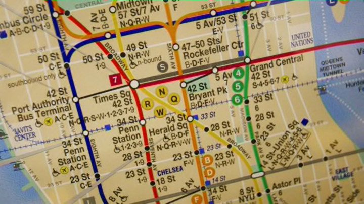
In major cities around the world, navigating from point A to point B using public transportation can be a daunting task, even for lifelong residents. With a range of bus and train options to choose from, differing local and express routes to account for, and unexpected service changes to deal with, even relatively straightforward commutes can end up getting pretty complicated. But which city has the most difficult-to-comprehend public transportation maps in the world?
According to a group of theoretical physicists and mathematicians, New York City holds that dubious honor. In a study cleverly titled “Lost in Transportation,” researchers at the CEA-Saclay in France and the University of Oxford set out to analyze public transportation maps in 15 cities around the world. According to the study, humans generally have a “cognitive threshold” of around 250 connections. When researchers layered New York City’s bus map atop its subway map, City Lab reports, they found that the number of connections reached 8461, exceeding the standard cognitive threshold dramatically.
Of the 15 cities they analyzed, they found that Paris, Tokyo, and London also have exceedingly complicated system maps. Meanwhile, Beijing and Hong Kong were the easiest to navigate.
City Lab explains that the researchers designed the study to gauge the degree to which future commuters will likely depend on digital navigation apps rather than traditional maps to get around. As cities expand and public transportation becomes more complicated, researchers believe that physical maps become more difficult to use. Of course, most city dwellers quickly learn the routes that are the most important in their everyday lives—how to get to work, for instance—but researchers believe bus and train maps are becoming less helpful for totally new navigation.
“Our analysis highlights the fact that humans need to integrate an excessive amount of information for urban navigation,” the researchers explain in the paper. “Redesigning maps and representations of transportation networks, as well as improving information-technology tools that help to decrease the amount of information to a level below the human processing threshold, thus appears to be crucial for an efficient use of services provided by transportation agencies.”
[h/t City Lab]
