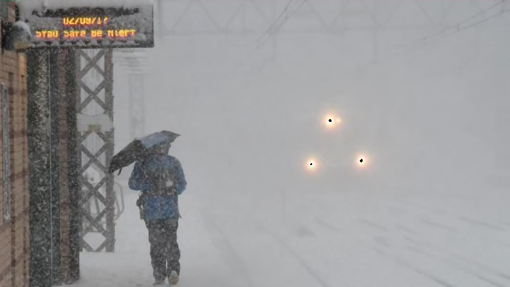
We're just a few days into the new year, and a winter storm of historic strength is already churning up the East Coast. As The Washington Post reports, the weather event has the potential to be the most severe storm in decades to form over the waters east of New England at this time of year.
The storm is being described as a "winter hurricane" and a "bomb cyclone"—terms that rival "snowpocalypse." But it's more than just dramatic weather lingo. Unlike blizzards that form over land, this one is powered by the Atlantic Ocean and is expected to drop to Hurricane Sandy-level atmospheric pressure within 24 hours. As pressure decreases more rapidly, the storm grows more intense in a process called bombogeneis (hence the "bomb" part of "bomb cyclone"). If it follows current projections, the storm will blanket the coast in dense, fast-falling sheets of snow.
The storm is already blasting southeastern states with rare ice and snow, prompting winter storm warnings in northern Florida for the first time in years. As it makes its way up the coast, the system will continue to strengthen. By the time it reaches New England Thursday, it's expected to hit the region with 40 to 60 mph winds and up to a foot of snow.
While the exact trajectory remains unclear, everyone living near the northeast coast should be prepared to hunker down from late Wednesday to Thursday night. A winter storm warning has been launched for the New Jersey shore, parts of Long Island, and parts of Connecticut, and a winter storm watch is currently in effect in New York City. Major cities farther south and farther inland, including Philadelphia, Baltimore, and Washington D.C., could make it through the storm with little to no snow accumulation.
The bomb cyclone follows a wicked cold snap across the U.S. that's already claimed the lives of 11 people. Temperatures in the northeast have remained below freezing since Christmas, and the impending storm will bring even more frigid weather this week.
[h/t The Washington Post]
