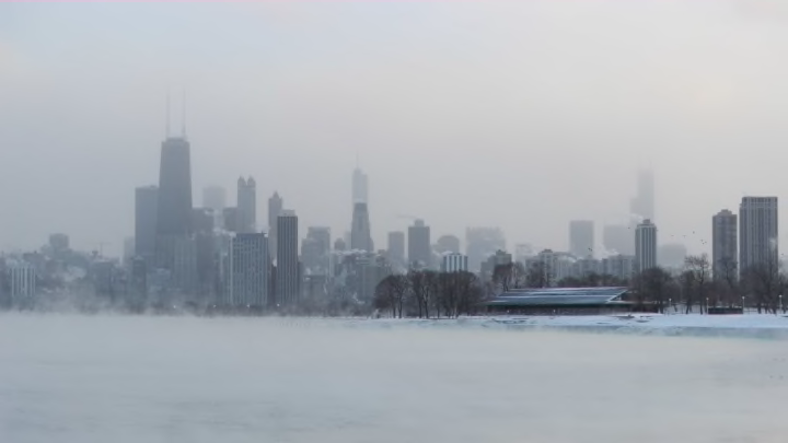
If you’ve turned on the news or stepped outside lately, you're familiar with the record-breaking cold that is blanketing a lot of North America. According to The Washington Post, a mass of bone-chilling air over Canada—a polar vortex—split into three parts at the beginning of 2019, and one is making its way to the eastern U.S. Polar vortexes can push frigid air straight from the arctic tundra into more temperate regions. But just what is this weather phenomenon?
How does a polar vortex form?
Polar vortexes are basically arctic hurricanes or cyclones. NASA defines them as “a whirling and persistent large area of low pressure, found typically over both North and South poles.” A winter phenomenon, vortexes develop as the sun sets over the pole and temperatures cool, and occur in the middle and upper troposphere and the stratosphere (roughly, between six and 31 miles above the Earth’s surface).
Where will a polar vortex hit?
In the Northern Hemisphere, the vortexes move in a counterclockwise direction. Typically, they dip down over Canada, but according to NBC News, polar vortexes can move into the contiguous U.S. due to warm weather over Greenland or Alaska—which forces denser cold air south—or other weather patterns.
Polar vortexes aren't rare—in fact, arctic winds do sometimes dip down into the eastern U.S.—but sometimes the sheer size of the area affected is much greater than normal.
How cold is a polar vortex?
So cold that frozen sharks have been known to wash up on Cape Cod beaches. So cold that animal keepers at the Calgary Zoo in Alberta, Canada once decided to bring its group of king penguins indoors for warmth (the species lives on islands north of Antarctica and the birds aren't used to extreme cold.) Even parts of Alabama and other regions in the Deep South have seen single-digit temperatures and wind chills below zero.
But thankfully, this type of arctic freeze doesn't stick around forever: Temperatures will gradually warm up.
