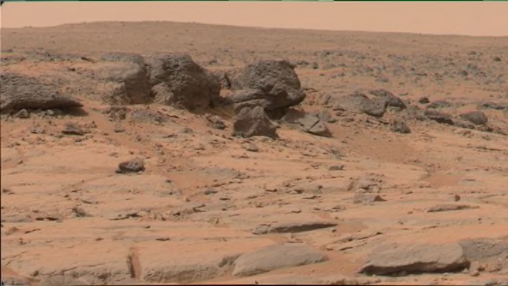
For all its historic achievements, an area where NASA deserves more credit is the sheer volume of data it releases to the public, free of charge. There may come a day when the moon landing or mission to Pluto is a footnote to NASA’s larger contribution of unlocking the universe for all of humankind. The Internet has enabled what the Planetary Society calls “citizen science,” whereby nonprofessionals can get involved with scientific programs. To contribute, of course, you need data, and that’s where NASA’s hard work to deliver information to the masses benefits everyone. The data available to amateur space enthusiasts are the very same used by the best-funded researchers here attending the Lunar and Planetary Science Conference. Below are five tools that you can use to study the universe.
1. JMARS
Java Mission-planning and Analysis for Remote Sensing, or JMARS, is the geospatial data analysis tool developed by Arizona State University's Mars Space Flight Facility. It allows the construction of images from multiple datasets, which is to say that you could take high-resolution photography of a certain spot on Mars, and overlay data drawn from instruments on the ground and in space. The science teams for such spacecraft as the Lunar Reconnaissance Orbiter and Mars Odyssey use JMARS for observation planning, and the same software is available to the public. In addition, a special version of JMARS has been developed for students in grades K-12. Teachers can supplement textbooks with extremely high-resolution photography direct from the rovers and satellites of Mars, complete with thermal overlays, geographic data, 3D layers, and other such data.
2. ANALYST’S NOTEBOOK
Analyst’s Notebook is a playback tool for NASA’s many ground-based missions. It allows the user to call up mission intervals and to see what observations were taken each day (e.g., all of the data for Sol 38 of the Curiosity rover on Mars—photographs, mission objective documentation, mission planner goals, etc.). The scientists working on precursor missions to Spirit and Opportunity developed the tool for early fieldwork. While in the desert doing test drives, they realized that they needed to have a way to log what they were doing each day so that, for example, 30 days into a test mission, they could look back and see why they made a certain decision on day five. Internally, NASA uses the same Analyst’s Notebook that’s available to the public (though public data is scrubbed of such things as phone numbers and personal email addresses, and populates a bit later than NASA’s dataset). Check out Planetary Science Tools for other great software.
3. LUNAR MAPPING AND MODELING PORTAL
NASA’s Lunar Mapping and Modeling Portal allows users to pull up different types of images from foreign bodies, overlaying them to help facilitate the correlation of content (e.g. mineralogy, gravity, etc.). Users can search by instrument type and mission, and can use the tool to calculate such things as elevation and the angle of sunlight. Planning a mission to the moon? Who isn’t? Using this site, student, educator, and researcher alike can look around for a good place to land a spacecraft, analyze the site and terrain, and work out pathfinding for a lunar rover. Perhaps the coolest feature of all allows you to find a site you like, draw a box around it, and generate an STL file—the file format used by 3D printers. If you have said printer, you can then print your little piece of the Moon for study and admiration.
4. ORBITAL DATA EXPLORER
The Orbital Data Explorer allows users to find and download orbital science data from NASA’s Planetary Data System. (The PDS, according to its website, is “a NASA-sponsored organization that archives and distributes high-quality planetary data to the science community.”) What this means is that drawing from scores of databases, scientific instruments, and satellites, you can study pretty much everything you’ll ever want to know about anything, ever, on worlds supported by the program. Datasets presently supported by Orbital Data Explorer include Mercury, Venus, the (Earth) moon, and Mars.
5. LUNASERV
LROC—the Lunar Reconnaissance Orbiter Camera—is the high-resolution camera system on board the Lunar Reconnaissance Orbiter. Lunaserv was developed in conjunction with LROC to help render the data captured by the satellite. As its website notes, the LROC science operations center possesses over one million observations available spanning 200 terabytes of data. The need for a tool like Lunaserv is obvious. Contrary to the name, the tool supports more than the moon. It currently allows the rendering of Mars and other bodies in space, to include Earth.
