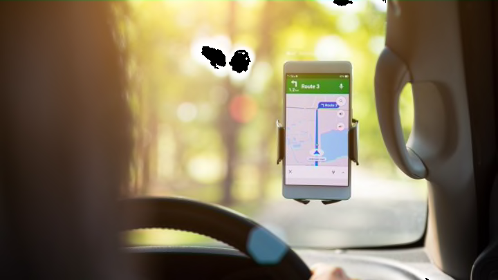
Most people use Google Maps for its main feature: calculating the fastest route from point A to point B. But that's just one part of what the popular maps app can do. From finding restaurants you like to finding your parked car, these are the Google Maps hacks you should be taking advantage of to optimize your next travel experience.
1. Set Dietary Preferences for Restaurant Results
If you research every new restaurant you visit to see if their menu suits your dietary needs, Google Maps can save you a step. Go to Settings, then Food & drink preferences, and tap Dietary. From there you can select a number of options, including vegan, vegetarian, kosher, and gluten-free. The next time you search for restaurants using the app, Google Maps will show you businesses that fit your preferences.
2. Measure Straight Distances
Google Maps automatically shows you how many miles your route will take by car, foot, or public transit, but sometimes you want to measure distance as the crow flies. The app has a tool for that as well. On the desktop site, hit the Satellite option in the bottom-left corner. Once you've found the area of land you want to measure, right-click on your starting point and select Measure distance from the drop-down menu. Click your endpoint to calculate the length of a straight line. To measure perimeters, select new points on the line and drag them to where you want them to be.
3. Find Your Parked Car
Google Maps can guide you almost anywhere—even to your car when you can't find it in a crowded parking lot. To take advantage of this feature, ask the app to save your parking spot. Do this by tapping the blue pin that represents where you are currently and select Save as parking location. When you're ready to return to your car, you can open the app and get directions to the saved pin on the map.
4. Share Your Trip With Friends
Instead of texting your friends every few minutes to update them on your ETA, let them see where you are in real time. While using Google Maps directions to get to your destination, tap the bar at the bottom the screen and hit Share trip progress. Google will allow you to send your location data to certain people in your contacts. Whoever you share your trip with will only be able to see where you are as long as the journey is in progress.
5. Download Maps to Get Directions Offline
Some Google Maps users still keep paper maps in their car just in case they drive through an area without service. Once you start taking advantage of this app feature, you'll be able to retire those maps for good. Ahead of your next trip, bring up the location you'll be traveling through on Google Maps. Tap the name at the bottom of the page and select the Download option from the pop-up window. Now you can access step-by-step directions and business information in this area even when your phone's offline.
6. Send Routes From Your Desktop to Your Mobile Device
Some people like planning routes on Google Map's desktop site, but it's not convenient to have your laptop open on your car's dashboard. If you want to refer to the directions you mapped out on your computer on your phone, look for the icon showing an arrow pointing at a smartphone at the top of the route. Clicking it will bring up the option to send it to your phone. Just make sure you're logged into the account you use for the mobile app on your desktop.
7. Zoom in With One Finger
When you're reading directions on the go, even something as easy as pinching to zoom can be too much of a hassle. Google Maps' tap-to-zoom feature simplifies things even further. Try tapping the map twice with one finger and holding it on the glass. Now you can zoom in and out by dragging your finger up and down the screen. If you only have one hand free, this hack works with the thumb of the hand you're holding your phone with.
8. Check the Elevation of Your Route
Clicking the icon that resembles a stack of squares on the upper-right side of the app allows you to add different overlays. One of them reveals the elevation contour lines of the area you're looking at. By transforming Google's standard map into a topographic map, you can factor steepness into your journey, which is especially useful when biking or walking.
