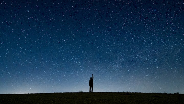
If you live somewhere that’s too bright to enjoy the stars, you’re definitely not alone. Light pollution is rampant, and it can make stargazing nearly impossible. Luckily, there’s an interactive, online tool that can help you find the darkest skies in your area.
To use the Dark Sky Map, all you have to do is type the name of your hometown into the search bar. The area will show up on the map, which is color-coded according to the amount of local light pollution. If you click on the globe icon on the left side of the screen, you’ll bring up the Bortle scale. This system measures an area’s night sky brightness levels based on factors like population density and artificial lighting. The regions with the darkest nights are represented in dark blue or black, while areas with the most washed-out skies are depicted as white and light pink.
You’ll notice that rural towns tend to have darker skies, as there are fewer residents and less artificial light in these areas. Parks are usually hotspots for stargazing because light pollution is so minimal. Oregon’s Crater Lake National Park and Nevada’s Great Basin National Park are some of the best national parks to visit for soaking in the stars.
The Dark Sky Map has a companion app, Meet Star Gazers, designed for astronomy enthusiasts on the go. With it, you can find the closest stargazing spots with high-quality night skies, ample parking spaces, great car accessibility, and more. iPhone users can find it on the App Store.
Stargazers who live in Wyoming have a reason to celebrate: Teton County was recently named the first International Dark Sky Certified county, and the state’s Jackson Hole Airport was deemed the world’s first Dark Sky airport.
Read More About Space:
